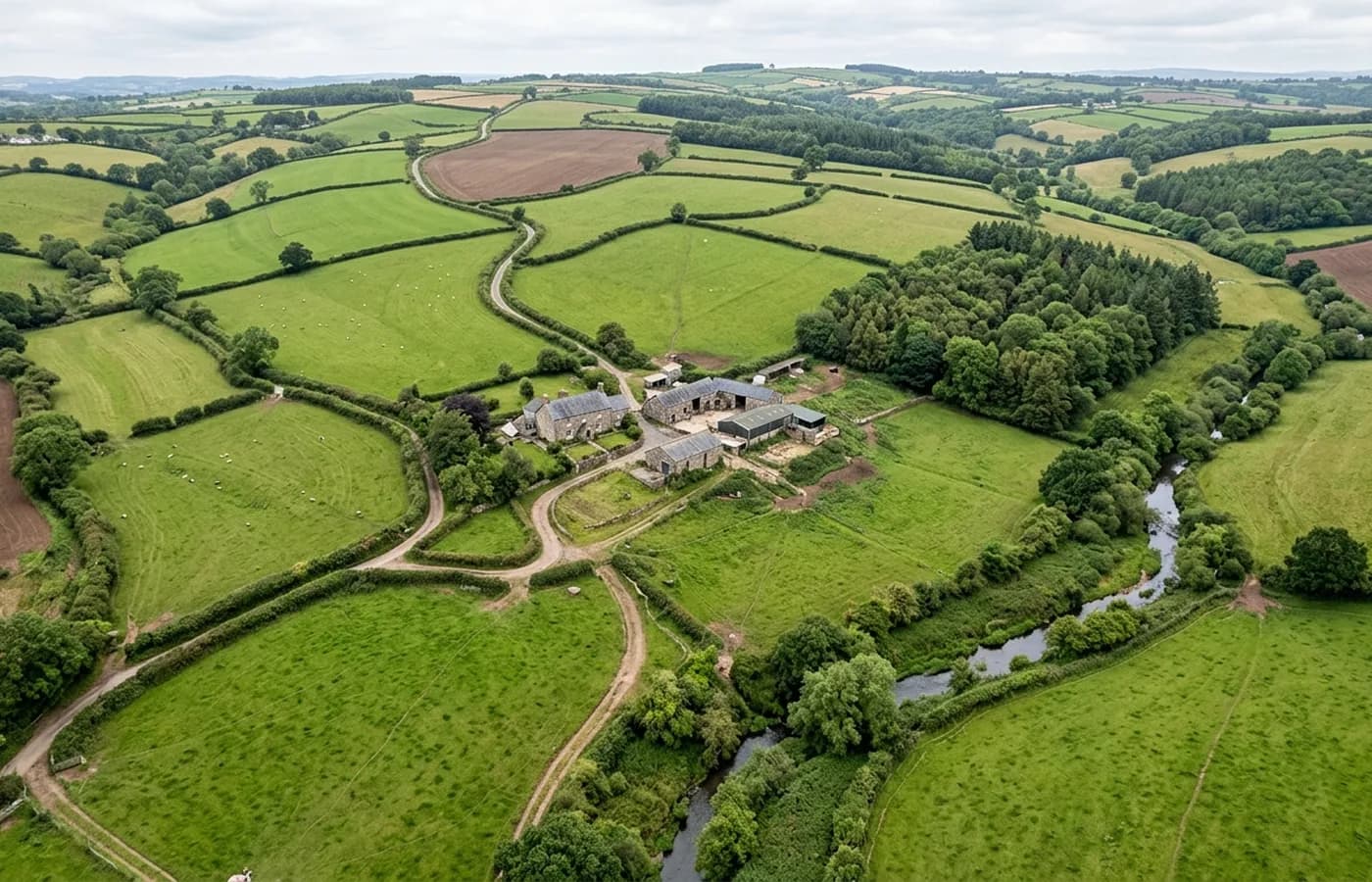
Dorset · DT1
Drone mapping services in Dorchester
A county town with a masterplanned extension on its western side and more recorded archaeology under it than anywhere else in the coverage area.
A planned extension built to a design code
The western side of Dorchester carries one of the best known masterplanned town extensions in the country, built out over decades to a design code and still growing. A site inside a scheme like that has a different survey need to a standalone plot: what matters is how a parcel sits within a wider layout that already exists on the ground.
An orthomosaic of the surrounding streets, with the parcel in it, does that job better than a plot-only survey. The context is the constraint, and the context is what the flight captures for free.
Archaeology, and what shows from the air
This is one of the most archaeologically rich landscapes in southern England, with a major hillfort on the edge of town and Roman and prehistoric remains across the surrounding fields. Development here regularly triggers archaeological work, and aerial capture supports it in two ways.
First, a dated orthomosaic before, during and after a strip records the trenching and the features in plan, which is far quicker than photographing them individually from a ladder. Second, ground disturbance and buried features can show as differences in crop or soil colour from above under the right conditions, though that is an observation, not a survey method anyone should rely on.
Chalk downland and the Frome valley
The ground here is chalk downland, with the Frome valley running through it. Chalk drains fast, which is good for site conditions and good for photogrammetry: less standing water than the Somerset levels or the Devon clays, and firm ground that stays workable.
Downland relief is gentle and long, which suits large area mapping. A single flight covers a great deal of ground here compared with a steep Devon valley, and the resolution stays consistent across it.
The far eastern edge of the coverage
Dorchester is around an hour and a half from base, which puts it at the far edge of the regularly worked area. Travel is still inside the fixed price, but a job here is planned as a full day and often combined with Bridport, Weymouth or Sherborne.
For a client with a Dorset programme rather than a single site, saying so at the outset usually produces a better price and a better date than booking each one separately.
A Roman grid, water meadows and flint
The centre sits on a Roman street grid, which gives the older town a regularity that is easy to read from above and useful when a plot has to be set accurately against its neighbours. Brick, flint and render all photograph well, holding enough texture for a model to lock onto.
North of the centre the Frome water meadows are low, wet and managed, and they behave like every other flood plain on this list: valuable terrain data, easily spoiled by standing water, worth timing to a dry spell.
Between the meadows, the downland and the extension on the western edge, this is a town where a single flight can cross three quite different kinds of ground, and the flight plan is built around that rather than around the boundary alone.
Behind the survey
What is behind a Dorchester mapping flight
CAA registered operator
Operator ID and Flyer ID held, which is the baseline anyone commissioning a flight over a live site should be asking to see before anything takes off.
A2 Certificate of Competency
The qualification that covers flying closer to people and property than the open default allows, which is what a built up site or a town centre survey needs.
100 megapixel Hasselblad camera
On a DJI Mavic 4 Pro. Resolution is the whole argument on a mapping job: it decides whether a stitched site map shows a plot peg or a smudge.
Radiometric thermal camera
A DJI Mavic 2 Enterprise Advanced with a 640 by 512 thermal sensor, for the jobs where a site needs a heat reading alongside the map.
Insured with Coverdrone
Full commercial cover. Certificates go to your site team or your client before the visit if that is part of your process.
Written note within 48 hours
Every job comes with a written record of conditions, coverage and the limits of the data, not just a folder of files with no explanation attached.
Construction background
The surveyor came into this from building work rather than from photography, so a site brief about levels, access and programme lands without translation.
Nearby
Also covered around Dorchester
- BridportA Dorset market town with a substantial allocation on its western side and unstable Jurassic Coast cliffs at West Bay, where monitoring needs angled capture.
- YeovilA south Somerset engineering town with edge-of-town growth and two active airfields nearby, which makes airspace the first conversation on every job.
See the output formats
Request a mapping quote in Dorchester
Send the boundary and what the data is for. Sam Hembury will come back with a fixed price for the site and the next slot the weather suits.