Skip to content
Drone Mapping ServicesExeter · Devon and the South West

What we fly

Three ways to turn a site into something measurable

Most jobs are one flight and one processing run. What changes is which outputs come out of it, so the three services below are really three answers to the question of what you need to do with the site once you have it on screen.
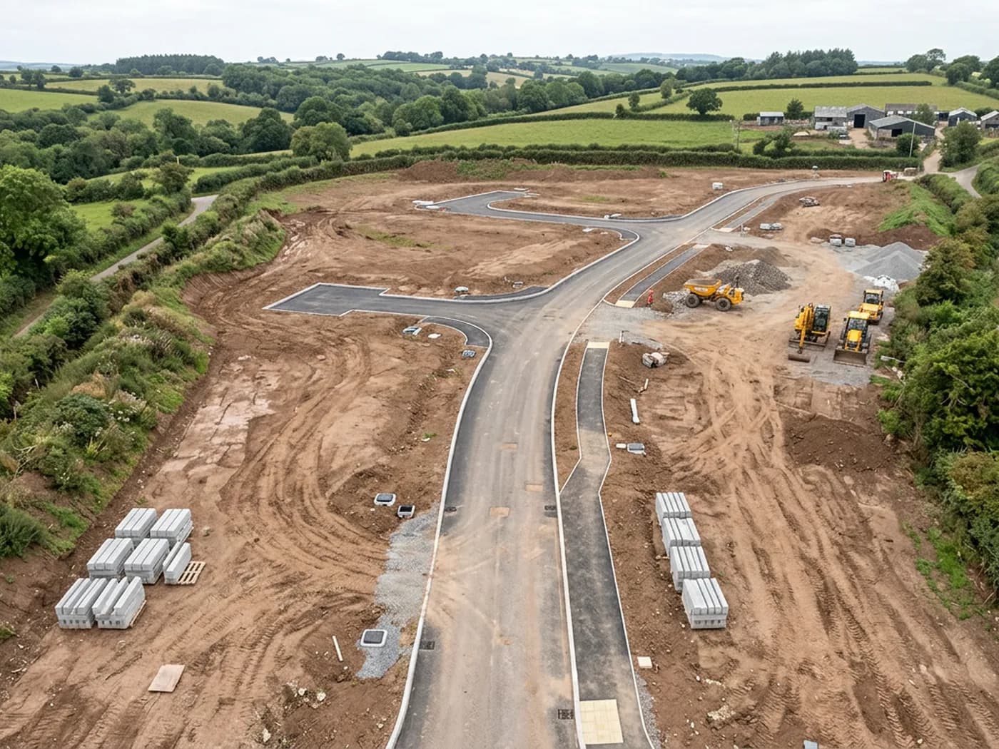
A straight down aerial view of a development site showing new road formation, plot boundaries and existing hedge lines, the kind of view an orthomosaic is built from

Orthomosaic site mapping

A single scaled, geo-referenced image of the whole site, stitched from a flight grid, ready to draw over in CAD or drop into a GIS.

  • Flight planning for the site, including airspace checks and landowner or site access arrangements
  • A gridded flight with the overlap the processing needs, flown in one visit where the site and the weather allow
  • Processed orthomosaic supplied as a geo-referenced GeoTIFF, with a JPEG or PNG copy for presentations
  • A scaled PDF plan of the site at a sheet size that suits the drawing
Site mapping
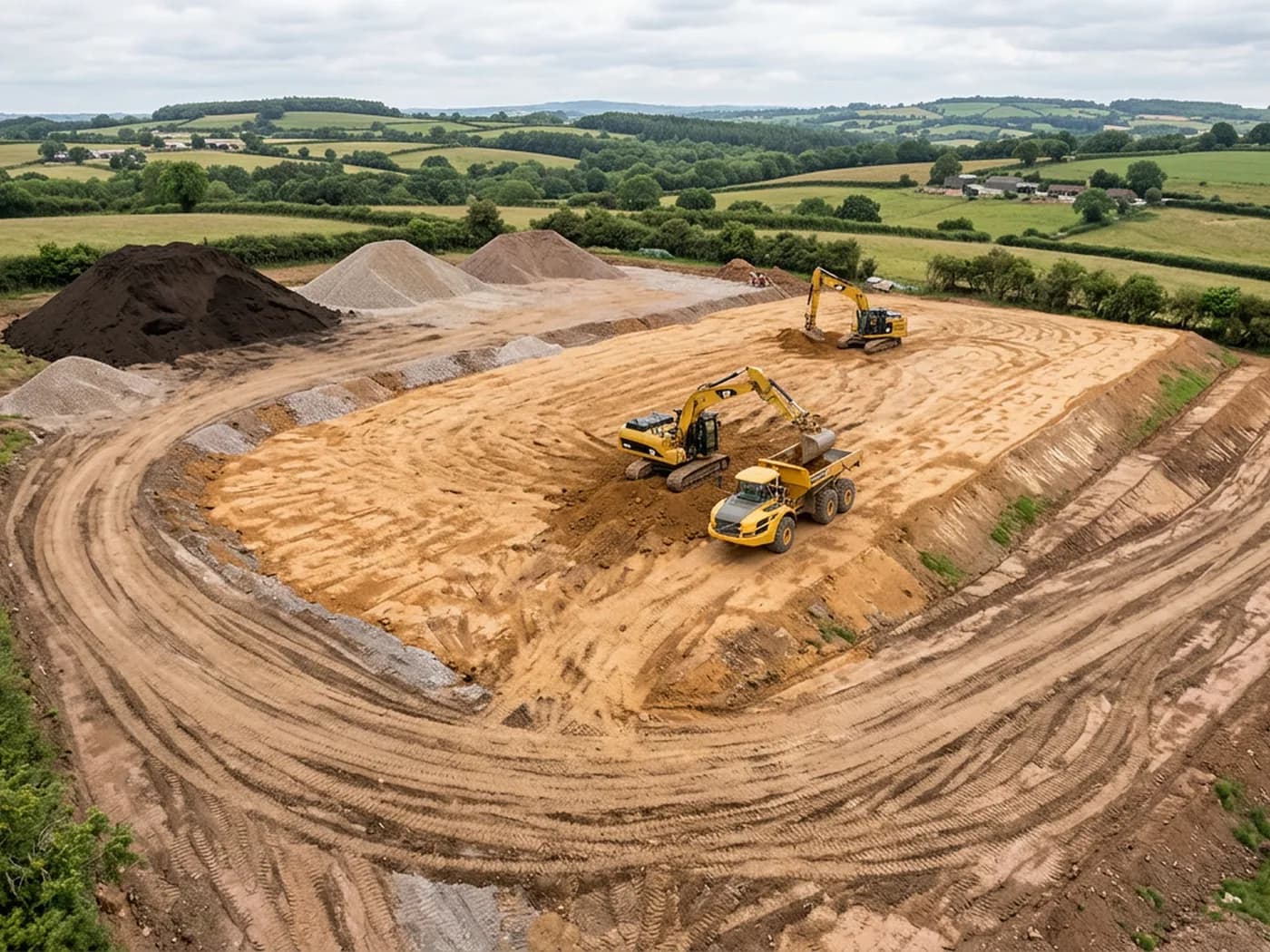
An aerial view of a graded construction platform with soil stockpiles, benched levels and haul routes, the kind of site earthworks volumes are taken from

Terrain models, contours and volumes

Surface and terrain models with contours, sections and cut and fill or stockpile volumes, for earthworks estimating and drainage design.

  • Digital surface model and digital terrain model, supplied as GeoTIFF rasters
  • Contours at the interval you specify, exported as DXF or shapefile for CAD and GIS
  • Cross sections and long sections through lines you nominate
  • Cut and fill or stockpile volumes calculated against a base plane, a design surface or an earlier flight
Terrain and volumes
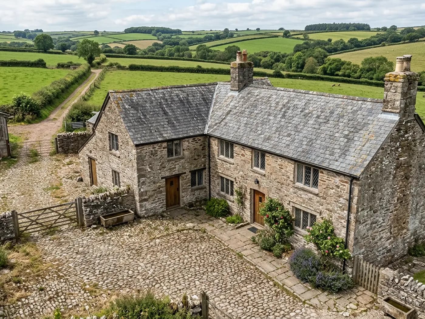
An angled aerial view of a stone farm building and its yard from the air, the kind of oblique capture a three dimensional site model is built from

Point clouds and 3D site models

Dense point clouds and textured mesh models of a site or a building, for design work, visualisation and taking measurements off an existing structure.

  • Dense point cloud in LAS or LAZ, and in a common exchange format if your software prefers one
  • Textured mesh model in OBJ or FBX for visualisation and clash checking
  • Elevations and plans traced from the model as DXF where you want them, rather than the raw cloud
  • Oblique imagery of every face of a building or structure, kept with the model
3D site models

See the output formats

Request a mapping quote with Drone Mapping Services

Tell us the address and what you need looking at. Sam Hembury will come back with a fixed price and the next available slot.

Call 07367 057901Request a mapping quote