Who flies it
One surveyor, one aircraft, and a background in building things
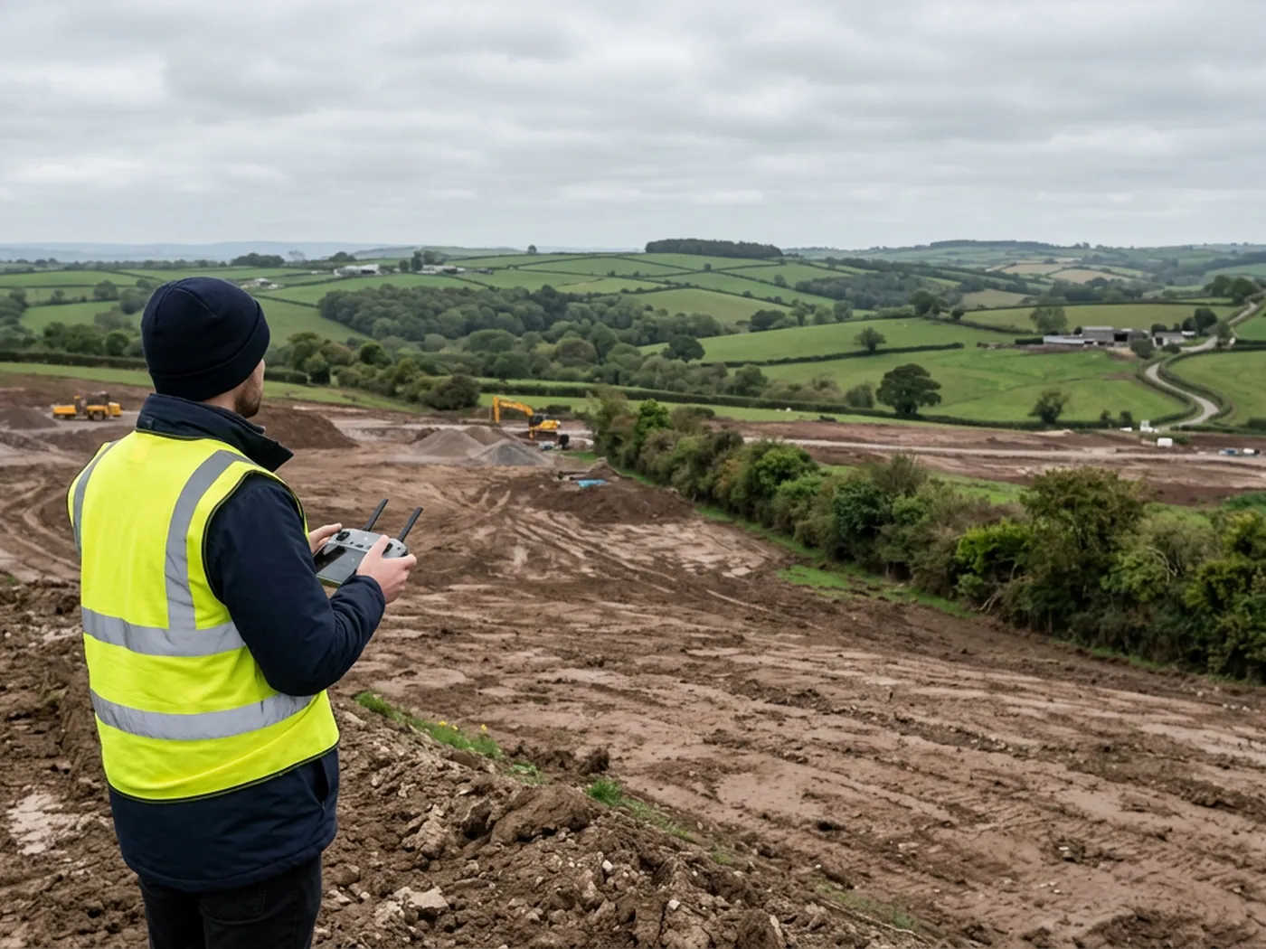
Where this came from
The background here is construction rather than photography. Years of contracting work across Devon, on the ground, dealing with levels, access, programme and the gap between a drawing and what is actually built. That is a different starting point to someone who bought a drone and looked for a use for it.
It shows up in small ways that matter to a client. A site brief about muck shift, formation levels or a phasing plan does not need translating. A flight gets planned around the working area rather than around the pilot's convenience. And the limits of the data get said out loud at the quoting stage, because a quantity nobody can rely on is worse than no quantity at all.
The aircraft are a DJI Mavic 4 Pro, carrying a 100 megapixel Hasselblad camera and 6K video, and a DJI Mavic 2 Enterprise Advanced with a 640 by 512 radiometric thermal camera for the jobs that need a heat reading as well as a map.
On the record
Registrations, kit and cover
CAA registered operator
Operator ID and Flyer ID held, which is the baseline anyone commissioning a flight over a live site should be asking to see before anything takes off.
A2 Certificate of Competency
The qualification that covers flying closer to people and property than the open default allows, which is what a built up site or a town centre survey needs.
100 megapixel Hasselblad camera
On a DJI Mavic 4 Pro. Resolution is the whole argument on a mapping job: it decides whether a stitched site map shows a plot peg or a smudge.
Radiometric thermal camera
A DJI Mavic 2 Enterprise Advanced with a 640 by 512 thermal sensor, for the jobs where a site needs a heat reading alongside the map.
Insured with Coverdrone
Full commercial cover. Certificates go to your site team or your client before the visit if that is part of your process.
Written note within 48 hours
Every job comes with a written record of conditions, coverage and the limits of the data, not just a folder of files with no explanation attached.
Construction background
The surveyor came into this from building work rather than from photography, so a site brief about levels, access and programme lands without translation.
DJI Mavic 4 Pro
100 megapixel Hasselblad camera and 6K video. The resolution is what makes a stitched site map worth drawing over: kerb lines, manhole covers, hedge banks and plot pegs stay readable when the whole site is assembled into one image.
DJI Mavic 2 Enterprise Advanced
640 by 512 radiometric thermal camera alongside the visual one, used where a site needs a heat reading as well as a map, and useful on ground where surface water or buried services show a temperature difference.
How we work
How the work is run
Legal before anything else
CAA registered operator with an Operator ID and a Flyer ID, holding an A2 Certificate of Competency, insured with Coverdrone for commercial operations. Certificates go to your site team or your client ahead of a visit if that is part of your process.
Airspace checked against the actual site
Exeter Airport, RNAS Yeovilton, Chivenor, Dunkeswell, the Dartmoor danger areas and the restricted airspace over Hinkley Point all sit inside the coverage area. Sites near any of them are cleared before the day, not on it.
The brief decides the flight
Height, overlap, oblique passes and whether ground control is worth setting are all decided by what the output has to do. A map for a planning drawing and a surface for an earthworks quantity are not the same flight.
Limits written down, not implied
Every job carries a note saying what conditions were like, what the flight covered, and which parts of the site the data does not describe properly. Tree cover, standing water, glass and anything the camera could not see are named rather than smoothed over.
See the output formats
Request a mapping quote with Drone Mapping Services
Tell us the address and what you need looking at. Sam Hembury will come back with a fixed price and the next available slot.