Devon · EX20
Drone mapping services in Okehampton
A moor-edge town with a reopened railway, quarrying history and military danger areas above it, where airspace and terrain are both harder than average.
Extraction, earthworks and the ground the town sits on
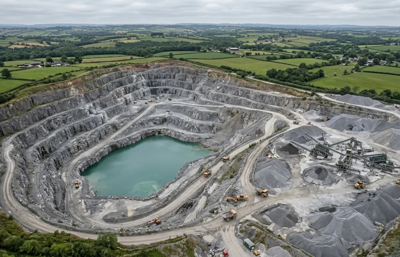
Okehampton sits under the northern edge of Dartmoor, where granite, aggregate and the remains of older extraction have shaped the landscape for a very long time. Working faces, benched levels, stockpiles and restored ground are all standard subjects for a drone survey and all want the same thing: heights, repeated over time, with volumes taken between dates.
Quarry work is one of the strongest arguments for aerial capture in the whole of this business. A stockpile measured from the air is measured without anyone walking on it, and a face is recorded without anyone standing under it.
The danger areas overhead are not optional
The military training areas on Dartmoor sit immediately south of the town, and their status changes with the firing programme. That has to be checked against the actual date of a flight, not assumed from a map read once.
This is the single biggest difference between flying here and flying in most of the rest of Devon, and it is a common reason a job in this area is booked with a flexible date. It is manageable, but it is not the sort of thing that gets sorted out on the morning.
Moor edge weather and hard relief
Ground rises sharply towards the moor, and weather that is fine in Exeter can be cloud on the tops here. Low cloud sitting on high ground is a complete stop for mapping, because a flight that loses ground visibility mid-grid produces gaps rather than a slightly worse product.
The relief itself needs planning around. Flying a fixed height above the take off point across ground that climbs sharply changes the resolution as you go, so a site with real height change is flown in terraces or with terrain-following planning rather than as one flat grid.
The railway, and a town with room to grow
The line back into Exeter reopened to regular passenger services in 2021, and that has changed how the town is thought about for housing and employment land. Sites on the northern and eastern edges come with the usual access and levels questions, and they are more straightforward flying than anything nearer the moor.
A job here is about fifty minutes from base. Where a site is moor-adjacent it is worth agreeing a target week rather than a target morning, because the combination of firing programme and hill cloud makes a fixed date the thing most likely to go wrong.
A National Park on the doorstep
The moor south of the town is a National Park, and that brings landscape sensitivity, access agreements and a great many people on the ground at any time of year. Flying near open access land means planning around walkers rather than assuming an empty hillside, and it means being able to explain what the aircraft is doing to anyone who asks.
The other Okehampton feature worth naming is rainfall. This is among the wettest places in the coverage area, and unmade ground here stays soft long after a dry forecast. On a site where surface condition matters to the survey, the last week of weather tells you more than the day's forecast does.
Behind the survey
What is behind a Okehampton mapping flight
CAA registered operator
Operator ID and Flyer ID held, which is the baseline anyone commissioning a flight over a live site should be asking to see before anything takes off.
A2 Certificate of Competency
The qualification that covers flying closer to people and property than the open default allows, which is what a built up site or a town centre survey needs.
100 megapixel Hasselblad camera
On a DJI Mavic 4 Pro. Resolution is the whole argument on a mapping job: it decides whether a stitched site map shows a plot peg or a smudge.
Radiometric thermal camera
A DJI Mavic 2 Enterprise Advanced with a 640 by 512 thermal sensor, for the jobs where a site needs a heat reading alongside the map.
Insured with Coverdrone
Full commercial cover. Certificates go to your site team or your client before the visit if that is part of your process.
Written note within 48 hours
Every job comes with a written record of conditions, coverage and the limits of the data, not just a folder of files with no explanation attached.
Construction background
The surveyor came into this from building work rather than from photography, so a site brief about levels, access and programme lands without translation.
Nearby
Also covered around Okehampton
- CreditonA market town among large Mid Devon landholdings, where the mapping work is as often a farm, an estate or a drainage catchment as it is a building plot.
- ExeterThe busiest source of mapping work in the region, with land coming forward on every edge of the city and an airport control zone over its eastern side.
See the output formats
Request a mapping quote in Okehampton
Send the boundary and what the data is for. Sam Hembury will come back with a fixed price for the site and the next slot the weather suits.