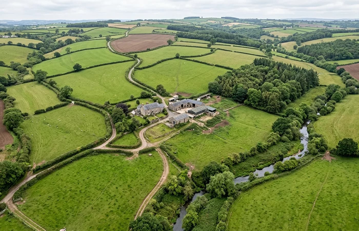
Dorset · DT6
Drone mapping services in Bridport
A Dorset market town with a substantial allocation on its western side and unstable Jurassic Coast cliffs at West Bay, where monitoring needs angled capture.
A large allocation beside a small town
Bridport has a big piece of land allocated on its western edge, which for a town of this size is a defining planning matter rather than a routine one. Sites at that scale relative to the settlement carry the same interface questions Wellington does, and the same argument for capturing the existing town alongside the site rather than just the red line.
Otherwise the work here is the usual small-town mixture: infill plots, commercial yards, agricultural buildings on the surrounding farms, and the occasional structure recorded before conversion.
West Bay and a moving coastline
The harbour and the cliffs at West Bay sit a mile south of the town on a stretch of coast that moves. Cliff falls, foreshore change and the structures built to manage them are all classic repeat-survey subjects, where the value is in comparing two dates rather than in any single visit.
A cliff needs angled passes from several heights at a safe standoff, not a straight down grid, because a vertical or overhanging face is invisible from above. Where a client wants change measured over time, both flights have to be processed identically, which is decided at the first one.
Two rivers, a floodplain and soft ground
The Brit and the Asker meet in the town and the low ground either side floods. As everywhere on this list with a floodplain, that pulls the terrain model to the front of what a client actually needs, and it makes the timing of the flight part of the quality of the result.
Ground here is softer and wetter than the chalk further east, so the state of the last week of weather matters more for site conditions than the forecast for the day of the flight.
Coastal weather at the edge of the range
This is exposed coast, and wind is the usual reason a date moves. A morning that is flyable inland can be unworkable at the harbour, so a coastal job here is booked with a fallback day rather than a single fixed slot.
Bridport is about an hour and forty minutes from base, at the outer limit of the regularly worked area. Combining it with Dorchester or Lyme Regis makes the trip work properly for both sides.
Rope walks and very long plots
The town was laid out for rope making, which is why its main streets are unusually wide and its plots unusually long and thin. That geometry survives in the modern town and it shows up in survey work constantly: long narrow sites hemmed in on both sides, where the useful capture runs along the plot rather than across it.
Long thin sites are flown as short strips with the aircraft working the length, and they benefit from oblique passes down both boundaries, because on a plot that shape the boundary condition is usually the thing in question.
The hills around the town, Colmers Hill among them, also make it a place where landscape and visual questions come up in planning, and aerial stills from agreed positions sit alongside the mapping when they are needed.
Behind the survey
What is behind a Bridport mapping flight
CAA registered operator
Operator ID and Flyer ID held, which is the baseline anyone commissioning a flight over a live site should be asking to see before anything takes off.
A2 Certificate of Competency
The qualification that covers flying closer to people and property than the open default allows, which is what a built up site or a town centre survey needs.
100 megapixel Hasselblad camera
On a DJI Mavic 4 Pro. Resolution is the whole argument on a mapping job: it decides whether a stitched site map shows a plot peg or a smudge.
Radiometric thermal camera
A DJI Mavic 2 Enterprise Advanced with a 640 by 512 thermal sensor, for the jobs where a site needs a heat reading alongside the map.
Insured with Coverdrone
Full commercial cover. Certificates go to your site team or your client before the visit if that is part of your process.
Written note within 48 hours
Every job comes with a written record of conditions, coverage and the limits of the data, not just a folder of files with no explanation attached.
Construction background
The surveyor came into this from building work rather than from photography, so a site brief about levels, access and programme lands without translation.
Nearby
Also covered around Bridport
See the output formats
Request a mapping quote in Bridport
Send the boundary and what the data is for. Sam Hembury will come back with a fixed price for the site and the next slot the weather suits.