Somerset · BA20-BA22
Drone mapping services in Yeovil
A south Somerset engineering town with edge-of-town growth and two active airfields nearby, which makes airspace the first conversation on every job.
Two airfields, and neither of them is optional
Yeovil is the most airspace-constrained town in this whole coverage area. There is a working aerodrome attached to the helicopter works on the western side of the town, and a naval air station a few miles north with its own protected airspace and an intensive training pattern.
Every job here starts with the location plotted against both, and some sites are not flyable at all. That is said in the first conversation, because a client with a deadline is better off knowing immediately that a particular plot needs a ground survey instead.
What gets commissioned when a flight is possible
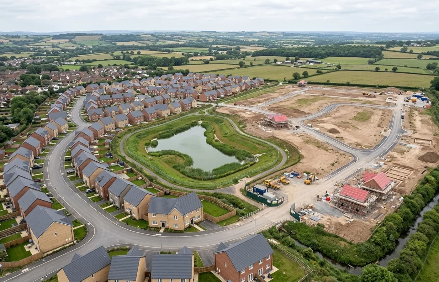
Where a site clears, the work is conventional and useful: edge-of-town housing land in blocks, employment and industrial plots, and the occasional large existing building being reworked. South Somerset ground is gentler than Devon's, with bigger fields and lower hedge banks, so terrain models here come out clean.
The town also sits among substantial rural landholdings, and estate mapping over farmland is a steady part of the work in this area, usually flown in one visit over a whole holding.
Rolling ground, hamstone and open fields
The landscape is rolling rather than steep, with wide open fields and long views, and the local hamstone gives buildings a warm even surface that photographs consistently. Both help: even ground and even light are what a stitched map wants.
The main local variable is agricultural. Crop state changes what a survey of farmland actually records between one month and the next, and on a job where field boundaries or drainage are the point, timing to a bare or short-crop period gives a far better result than flying in high summer.
Distance and planning
Yeovil is a little over an hour from base, at the eastern edge of the regularly worked area, and it pairs naturally with Sherborne or Dorchester work when a client has more than one site.
Because of the airspace, this is the town on this list where the lead time is set by paperwork rather than by weather or distance, and where the value of asking before assuming is highest.
Where the ground work happens instead
Because the airspace here rules out some sites entirely, it is worth saying what the alternative looks like rather than leaving a client stuck. For a plot that cannot be flown, a ground based survey by a land surveyor is the answer, and the sensible thing is to establish that in the first conversation rather than after a wasted visit.
Where a site does clear, the surrounding country is some of the easiest in the coverage area to work: open, rolling, dry by regional standards, with hamstone buildings that hold detail well in a model and fields large enough to fly efficiently.
The town's older glove-industry terraces and its rebuilt commercial centre also produce a steady flow of smaller existing conditions jobs, where what a client needs is one building recorded properly rather than a landscape mapped.
Because so much depends on the exact location, a postcode is rarely enough to answer the question here. A boundary, even a rough one drawn on a map, is what allows a straight answer about whether a site can be flown, and it takes a client about a minute to send.
Behind the survey
What is behind a Yeovil mapping flight
CAA registered operator
Operator ID and Flyer ID held, which is the baseline anyone commissioning a flight over a live site should be asking to see before anything takes off.
A2 Certificate of Competency
The qualification that covers flying closer to people and property than the open default allows, which is what a built up site or a town centre survey needs.
100 megapixel Hasselblad camera
On a DJI Mavic 4 Pro. Resolution is the whole argument on a mapping job: it decides whether a stitched site map shows a plot peg or a smudge.
Radiometric thermal camera
A DJI Mavic 2 Enterprise Advanced with a 640 by 512 thermal sensor, for the jobs where a site needs a heat reading alongside the map.
Insured with Coverdrone
Full commercial cover. Certificates go to your site team or your client before the visit if that is part of your process.
Written note within 48 hours
Every job comes with a written record of conditions, coverage and the limits of the data, not just a folder of files with no explanation attached.
Construction background
The surveyor came into this from building work rather than from photography, so a site brief about levels, access and programme lands without translation.
Nearby
Also covered around Yeovil
- DorchesterA county town with a masterplanned extension on its western side and more recorded archaeology under it than anywhere else in the coverage area.
- TauntonSomerset's county town, with garden community scale growth on two edges, a regenerating centre, and flat Tone valley ground that floods and models well.
See the output formats
Request a mapping quote in Yeovil
Send the boundary and what the data is for. Sam Hembury will come back with a fixed price for the site and the next slot the weather suits.