Devon · EX31-EX32
Drone mapping services in Barnstaple
North Devon's main town, with riverside regeneration, a large western growth area, and the Chivenor airfield sitting a few miles down the estuary.
A regional centre with two kinds of growth
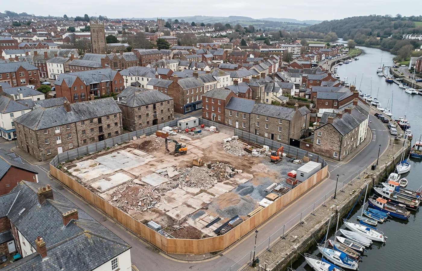
Barnstaple carries both patterns at once: substantial greenfield housing land on the western and northern edges, and riverside brownfield regeneration in and around the centre where old industrial and commercial ground meets the Taw.
The greenfield sites are conventional block mapping with contours and quantities. The riverside plots are existing conditions work, usually with structures to record and levels that step down to the water, and they are the more interesting flying of the two.
Chivenor is four miles downstream
The airfield on the estuary west of the town is active, and its airspace governs a good deal of the ground between Barnstaple and the coast. Anything out that way is checked and cleared before a date is agreed, and it is the first question asked about a site in this part of North Devon.
Inland and east of the town the picture is simpler, but the habit of checking first is what keeps a survey programme from losing a day to a flight that was never going to happen.
The Taw, and low ground either side of it
The river is tidal through the town and the ground beside it is low, so tide state and recent rainfall both affect what a flight actually records. Mudflat and foreshore are only present in the data at low water, and grazing land on the flood plain holds sheet water after heavy rain.
Long Bridge and the older quays give the town a working waterfront that is a natural subject for oblique capture, and a good example of the kind of structure that is hard to record any other way without closing something.
Distance, and making the trip worthwhile
Barnstaple is a little over an hour from base across the middle of Devon, which is the furthest regularly worked part of the coverage area in that direction. Travel is still inside the fixed price, but it makes sense to combine jobs where a client has more than one site in the north of the county.
Bideford, Great Torrington and Ilfracombe are all within a short run from here, so a two-site day is often the sensible shape for North Devon work.
Former rail alignments and active travel routes
The Tarka Trail runs out of the town along a former railway alignment, and disused rail corridors turned into paths are a recurring survey subject across the region. They are long, thin, publicly used and often poorly recorded, and where surfacing, drainage or bridge work is planned, an accurate strip survey is the sensible starting point.
Corridor capture along a route like that is flown in sections with generous overlap and assembled into one continuous dataset, with the note recording where tree cover interrupted the ground surface. Mature planting along an old railway is heavy in places, and the terrain under it is inferred rather than measured.
The employment land at Roundswell on the southern edge is the other regular commission: large, level commercial plots that fly like textbook block surveys and produce clean terrain models with very little tidying.
Behind the survey
What is behind a Barnstaple mapping flight
CAA registered operator
Operator ID and Flyer ID held, which is the baseline anyone commissioning a flight over a live site should be asking to see before anything takes off.
A2 Certificate of Competency
The qualification that covers flying closer to people and property than the open default allows, which is what a built up site or a town centre survey needs.
100 megapixel Hasselblad camera
On a DJI Mavic 4 Pro. Resolution is the whole argument on a mapping job: it decides whether a stitched site map shows a plot peg or a smudge.
Radiometric thermal camera
A DJI Mavic 2 Enterprise Advanced with a 640 by 512 thermal sensor, for the jobs where a site needs a heat reading alongside the map.
Insured with Coverdrone
Full commercial cover. Certificates go to your site team or your client before the visit if that is part of your process.
Written note within 48 hours
Every job comes with a written record of conditions, coverage and the limits of the data, not just a folder of files with no explanation attached.
Construction background
The surveyor came into this from building work rather than from photography, so a site brief about levels, access and programme lands without translation.
Nearby
Also covered around Barnstaple
See the output formats
Request a mapping quote in Barnstaple
Send the boundary and what the data is for. Sam Hembury will come back with a fixed price for the site and the next slot the weather suits.