Somerset · TA6
Drone mapping services in Bridgwater
Somerset's industrial and logistics town, beside the region's biggest construction project, on drained levels where the terrain model is the whole point.
Industrial ground, logistics and very large earthworks
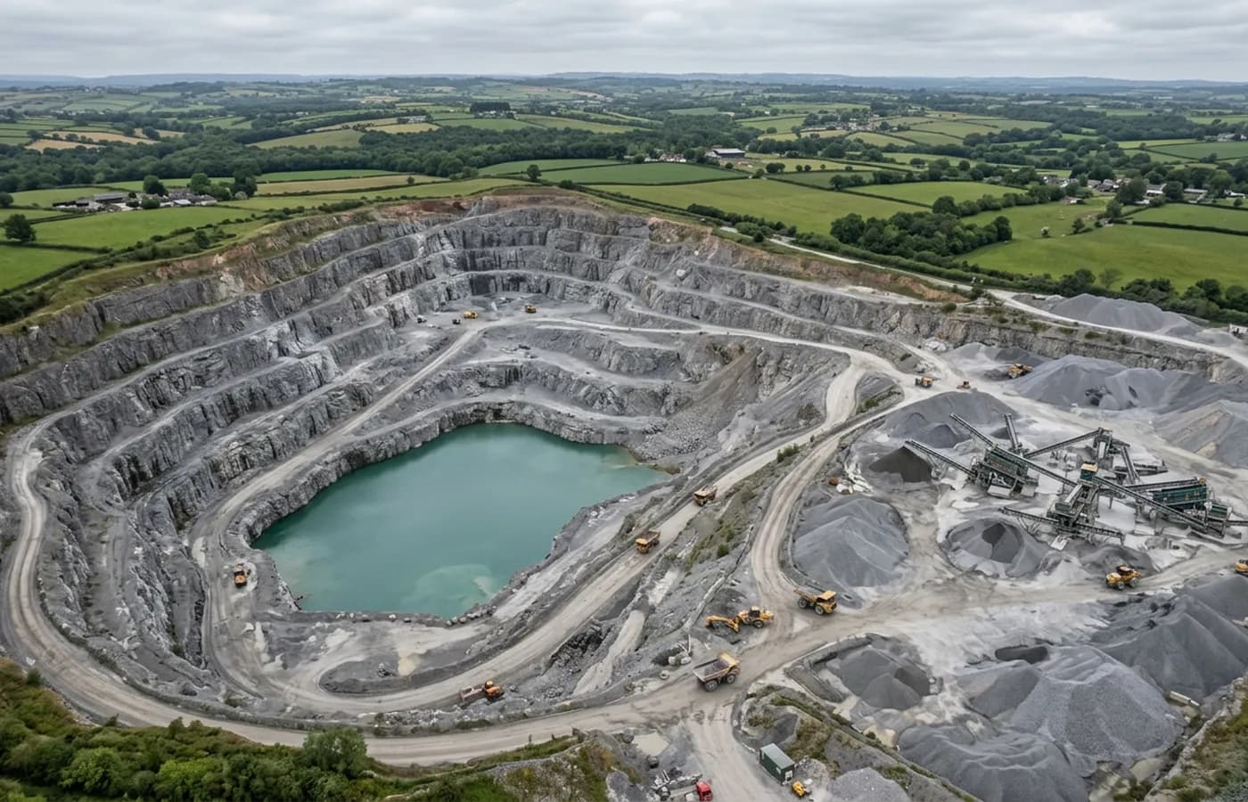
Bridgwater has more heavy earthworks and industrial development around it than anywhere else in this coverage area. Distribution sheds, energy infrastructure, associated development and the ground being prepared for all of it involve moving material at a scale where a measured quantity is worth real money.
That is the strongest possible case for repeat aerial capture. A platform flown monthly through a cut and fill operation gives a running volume, taken without anybody standing in a haul route, and processed the same way each time so the numbers are comparable rather than merely similar.
The power station is up the coast, and it has its own airspace
The construction site on the coast north of the town carries an airspace restriction of its own, and the associated development spread around the district means a survey site here can sit closer to it than a client expects. That gets checked against the specific location before a date is agreed.
It is a straightforward check, and the point of doing it early is that some plots will simply be refused. Knowing that in the first phone call is more useful than finding out from a cancelled visit.
The levels, the rhynes and the water table
The land north and west of the town is drained levels: flat, low, criss-crossed with rhynes and ditches, and sitting close to the water table. For mapping this is both the easiest and the hardest ground in the region. Easy because it is flat and open with clean sight lines. Hard because water is everywhere and water returns nothing.
A rhyne shows in an orthomosaic as a dark line and in a terrain model as a gap, so drainage features on levels sites are usually traced from the image rather than measured from the surface, and the note explains which of the two was done.
Tidal river, and a town used to water
The Parrett runs through the town and is tidal, with a large range and heavy silt. Anything on the riverbank is timed to low water, and the mud itself is a poor photogrammetric subject: wet, uniform and low contrast, so it produces noisier surfaces than dry ground does.
Bridgwater is about an hour and ten minutes from base up the M5, which makes it a planned day and a natural pairing with Taunton work.
Docks, brick terraces and a town expanding fast
The old docks and the ground along the Parrett are a mixture of industrial land, water and heritage structure, which makes for interesting flying and a slightly awkward dataset: hard edges next to open water, with the water contributing nothing.
Inland, the town's Victorian brick terraces and its very large post-war estates are being added to at pace, driven by the workforce the coastal construction project brings. Development at that rate is the classic case for repeat capture, because the thing clients most often want to establish later is what existed on a given date.
Brick and clay tile are good photogrammetric subjects, textured and matt, so the built parts of a Bridgwater survey generally come out cleaner than the wet ground around them.
Behind the survey
What is behind a Bridgwater mapping flight
CAA registered operator
Operator ID and Flyer ID held, which is the baseline anyone commissioning a flight over a live site should be asking to see before anything takes off.
A2 Certificate of Competency
The qualification that covers flying closer to people and property than the open default allows, which is what a built up site or a town centre survey needs.
100 megapixel Hasselblad camera
On a DJI Mavic 4 Pro. Resolution is the whole argument on a mapping job: it decides whether a stitched site map shows a plot peg or a smudge.
Radiometric thermal camera
A DJI Mavic 2 Enterprise Advanced with a 640 by 512 thermal sensor, for the jobs where a site needs a heat reading alongside the map.
Insured with Coverdrone
Full commercial cover. Certificates go to your site team or your client before the visit if that is part of your process.
Written note within 48 hours
Every job comes with a written record of conditions, coverage and the limits of the data, not just a folder of files with no explanation attached.
Construction background
The surveyor came into this from building work rather than from photography, so a site brief about levels, access and programme lands without translation.
Nearby
Also covered around Bridgwater
See the output formats
Request a mapping quote in Bridgwater
Send the boundary and what the data is for. Sam Hembury will come back with a fixed price for the site and the next slot the weather suits.